Loading Data
Find USDA Eligible Properties in Shasta County
 browse list of realtors working in Shasta County
Shasta county has 2 usdaproperties.com realtors ready to help with your search!
| April Featured Agents | |
|---|---|
| Al Naticchioni | from RE/MAX of Redding |
| Tara Fowler | from Coldwell Banker C |
 Contact an Agent for Help
 Looking to buy in Shasta County, California?
There are 965 USDA backed residential loans in Shasta county with an average loan balance of $158,670. Over 88% of the loans helped first time home buyers. Borrowers were an average age of 40 years old. The typical appraised home value was around $157,588. On average the rural home size purchased with this loan was approximately 1,343 SqFt. Shasta county applies the standard USDA income limits to determine loan eligibility. For a household of upto 4 people the income limit is $90,300. For a household of between 5 and 8 people the income limit is increased to $119,200.
The size of Shasta County is roughly 9,965 square kilometers. USDA defined regions of rural loan ineligibility in Shasta cover 180 square kilometers of the county. Approximately 1.8% of Shasta County is ineligible for traditional USDA home loans. The influence score for Shasta County is 2. Look below for the interactive county level map illustration below for more details.
Select from the list of cities below or use the search feature to find active property listings in a city where you would like to live.
Start your search for USDA loan eligible properties in the cities of Shasta County, CA 
* cities most likely to have USDA loan eligible properties for sale.
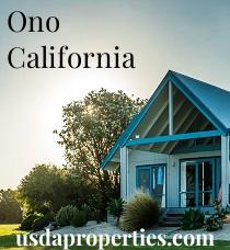
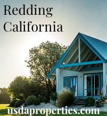
*Anderson • Antlers • *Bella Vista • *Big Bend • Bully Hill • *Burney • *Cassel • Castella • Castle Crag • Cayton • Conant • Coram • *Cottonwood • Dana • Delta • Dirigo • *Fall River Mills • Fern • Fisher • *French Gulch • Gas Point • Gibson • Girvan • Glenburn • *Hat Creek • Hillcrest • Igo • Ingot • Inwood • Iron Mountain • Johnson Park • *Keswick • Kett • Knob • *Lakehead • Lamoine • Manzanita Lake • Matheson • *McArthur • McColl • *Millville • Minnesota • *Montgomery Creek • Motion • *Mountain Gate • OBrien • Oak Run • Obie • *Old Station • Olinda • Ono • *Palo Cedro • Pittville • Platina • Point McCloud • Pollard Flat • Portal Inn • Redding • Redwoods • Rinckel • *Round Mountain • *Shasta • *Shasta Lake • *Shingletown • Silverthorn • Sims • Summertown • Sweetbriar • Tunnel Inn • Viola • Vollmers • Wengler • Whiskeytown • Whitmore
A USDA loan is a mortgage option available to eligible homebuyers that is sponsored by the United States Department of Agriculture to promote homeownership in rural communities. USDA Loans, sometimes called "RD Loans," offer 100% financing options on eligible rural properties. USDAProperties can help you find USDA properties in Shasta County.
View the detailed USDA boundaries and read about general conditions of
Shasta County, California
 .
.Shasta County, located in the northern portion of California, was officially established on February 18, 1850, as one of the original 27 counties of the state. It is named after Mount Shasta, the region's most prominent landmark and one of the tallest mountains in California. The county covers an area of approximately 3,847 square miles and has a rich history that dates back thousands of years.
Before European settlers arrived, the region was inhabited by various Native American tribes, most notably the Wintu, Yana, and Achomawi. These tribes lived off the land and relied on the abundant natural resources found in the area, such as the Sacramento River and its tributaries, fertile soil, and diverse wildlife.
With the California Gold Rush in 1849, the area experienced an influx of newcomers in search of fortune. As a result, Shasta County became an important hub of transportation, communication, and trade during this time. The county seat, Shasta City, once known as "Queen City" of the northern mines, was a bustling mining town during the mid-19th century, but it eventually declined in prominence when the railroad bypassed it in favor of Redding.
Today, Shasta County still possesses remnants of its mining past, and several other industries contribute to its economy, such as timber, agriculture, and recreation. The county is known for its stunning landscapes, including the Lassen Volcanic National Park, Shasta Lake, and the iconic Mount Shasta.
Fun Fact: Shasta County has a unique attraction called the Sundial Bridge. Designed by renowned Spanish architect Santiago Calatrava, this pedestrian bridge spans the Sacramento River in Redding and is famous for its distinctive sundial shape. The 217-foot tall glass and steel structure is not just a bridge, but also serves as a working sundial, making it one of the largest sundials in the world.
Featured Cities of California