Loading Data
USDA Eligibility Boundaries for Jennings, Indiana 
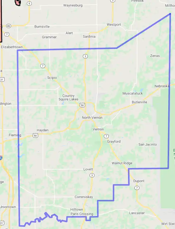
There are no geographical USDA loan restrictions in this county. 100% of Jennings County is eligible for rural development USDA home loans.
The United States Department of Agriculture has rated the natural amenities of this region. On a scale of one to seven, Jennings county is rated a 2. The average temperature during the month of June is 75.6℉ and the average temperature in January is 31.6℉. The typical humidity of this area is approximately 60% and the area covered by water is 0.3%. The overall influence score for Jennings is 8.
The map below displays geographic boundaries of Jennings, Indiana with a blue border. There are no significant USDA regional restrictions in this county. For higher resolution imagery click the map to zoom in or search for specific postal (zip) codes, city names or even counties. You can also search for specific addresses using the power search feature here.
Select from the above list of cities in Jennings County. Cities most likely to have USDA loan eligible properties are highlighted in the drop down list. Alternatively, use the search form to find your favorite counties, cities and zip codes in Indiana.
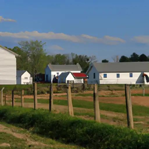
Jennings County is located in southeastern Indiana, bordering the state of Kentucky and the Ohio River. The county is part of the Seymour Metropolitan Statistical Area. As of the 2019 census, the population of Jennings County was 28,903. The median household income was $45,521 and the median home value was $115,400.
The majority of Jennings County residents are white (97.6%), while African Americans make up 1.3% and Hispanic or Latino individuals make up 0.6% of the population. The county is largely rural, with over 95% of its land area consisting of farmland or forests. The major industries in the area are manufacturing and retail trade.
The living conditions in Jennings County vary depending on the location within the county. The county seat of Versailles has a higher cost of living than other townships in the county, due to its proximity to larger cities such as Cincinnati and Louisville. However, housing costs in the county are generally lower than those in other parts of Indiana. Additionally, there are a number of recreational activities available in Jennings County, including fishing, hunting, hiking, and camping.
Jennings, Indiana
Loan officers and realtors can answer your questions about USDA home loan programs.
For direct assistance with Indiana USDA program details you can also contact:
Indiana State OfficeFeatured Property from USDA Loan Eligible Regions of Indiana
5975 Lakeside Boulevard
Indianapolis, Indiana 46278-1996
Call us at 317-290-3100
TDD# 317-295-5799
FAX 855-541-9019
Our staff remains available to assist you from 8:00 am to 4:30 pm Monday through Friday.
