Loading Data
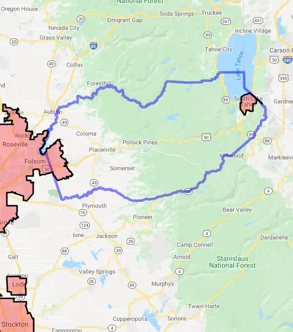
USDA Eligibility Boundaries for El Dorado, California 


96.0% of El Dorado County is eligible for a USDA home loan.
The United States Department of Agriculture has rated the natural amenities of this region. On a scale of one to seven, El Dorado county is rated a 6. The average temperature during the month of June is 73.5℉ and the average temperature in January is 40.4℉. The typical humidity of this area is approximately 28% and the area covered by water is 4.46%. The overall influence score for El Dorado is 1.
The map below displays geographic boundaries of El Dorado, California with a blue border. Regions of California that are highlighted in red are not eligible for USDA backed home loan programs in the state of California. Typically these red-highlighted restricted areas represent areas of denser population areas such as city centers. USDAProperties.com can help you determine exactly what properties for sale are outside these exclusionary boundary areas. For higher resolution imagery click the map to zoom in or search for specific postal (zip) codes, city names or even counties. You can also search for specific addresses using the power search feature here.
Select from the above list of cities in El Dorado County. Cities most likely to have USDA loan eligible properties are highlighted in the drop down list. Alternatively, use the search form to find your favorite counties, cities and zip codes in California.

El Dorado County is located along the western slope of the Sierra Nevada mountain range in California. As of 2020, it has a population of 181,058 people. The median household income is $81,800 and the median age is 44.2 years old.
The county includes mainly rural and mountainous terrain with many small towns, villages, and unincorporated areas. The largest city in El Dorado County is Placerville, with a population of 10,389 as of 2020. Other cities in the county include El Dorado Hills (population 43,957) and South Lake Tahoe (population 21,403).
The living conditions in El Dorado County vary depending on the region and whether it's rural or urban. In general, though, people enjoy access to quality healthcare facilities and educational institutions across the county. Recreational opportunities abound with access to parks, trails, and other outdoor activities.
El Dorado, California

Loan officers and realtors can answer your questions about USDA home loan programs.
For direct assistance with California USDA program details you can also contact:
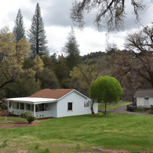
USDA Rural DevelopmentFeatured Property from USDA Loan Eligible Regions of California
430 G Street, Agency 4169
Davis, CA 95616
Phone: (530) 792-5800
Email: CA.Info@usda.gov
State Director's Office: (530) 792-5800
Business & Co-op Programs: (661) 281-2736
Community Programs: (805) 863-9928
Single Family Housing: (530) 792-5830

