Loading Data
USDA Loan Eligible Active Listings Around
Postal Code 85637

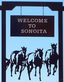
Sonoita, Arizona in Santa Cruz County
The size of zip code area 85637 is roughly 312.6 square kilometers.
There are no significant geographical USDA loan restrictions in this postal code area.
Use the map or table links below to access listing details.
There are currently no properties eligible for USDA loans in Sonoita.
Try searching another, possibly more rural and populated region. Other cities in Santa Cruz county include:
Agua Linda, Alto, Amado, Beyerville, Calabasas, Carmen, Casa Piedra, Duquesne, Elgin, Hacienda Los Encino, Harshaw, Kino Springs, Lochiel, Madera Canyon, Nogales, Old Glory, Oro Blanco, Otero, Patagonia, Rio Rico, Ruby, Trench Camp, Tubac, Tumacacori, TumacacoriCarmen, Washington Camp,
Or have a look at other Arizona counties including:
Apache, Cochise, Coconino, Gila, Graham, Greenlee, La Paz, Maricopa, Mohave, Navajo, Pima, Pinal, Santa Cruz, Yavapai, Yuma,
Demographic and Regional Info
Nogales, AZ 85637
Sonoita is located in the West - Mountain region of the United States and uses Mountain USA timezone. The area around Sonoita does not observe daylight saving. The mean elevation is 3857 ft above sea level.
The telephone area code for Sonoita is 520. There are 46 businesses with 219 employees in Sonoita. The average household income is $74250 and the average home value is around $483420.